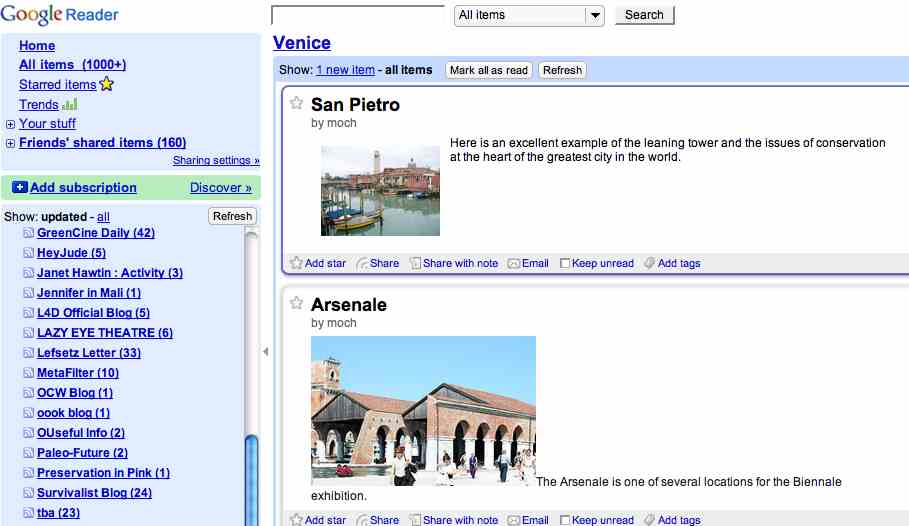
I have been working with Marjorie Och’s Art History seminar to build a virtual exhibit on Venice this semester, and we are using Google’s My Maps collaborative feature to have everybody add points, images, and links to one map. Today I noticed a little RSS button in the My Maps interface, which when I subscribed to gave me all the most recent points added to the maps–including the text, images, and links for each point. How very cool!
And as an added bonus, the feed even works with the CET Embed plugin for WordPress:
Update: For a thoughtful discussion of the implications of an RSS feed coming out of My Maps take a look at Tony Hirst’s post about My Maps as a geo-blogging platform back in February, 2008 (which he already hacked a version of through Yahoo pipes)—damn he is the mashup master!
[cetsEmbedRSS id=’http://maps.google.com/maps/ms?ie\x3dUTF8\x26hl\x3den\x26msa\x3d0\x26output\x3dgeorss\x26msid\x3d107569464170439675805.0004534214bdf7ed18f9f’ itemcount=’10’ itemauthor=’1′ itemdate=’1′ itemcontent=’1′]


Pingback: Google MyMaps Now With RSS (= Easy Geoblogging) « OUseful.Info, the blog…
Pingback: An Experiment in Digital Storytelling